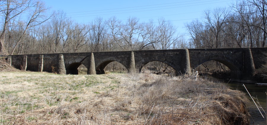
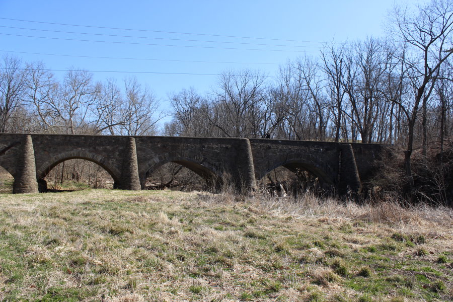
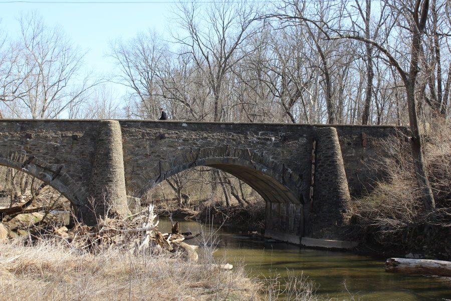
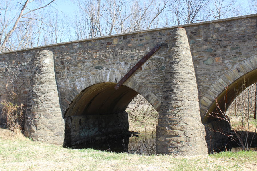
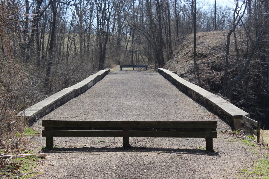
Goose Creek Stone Arch Bridge
This is an image set within the Bridgemeister collection.
| Bridge: | Goose Creek Stone Arch Bridge |
| Location: | Atoka vicinity, Virginia, USA - Goose Creek |
| Coordinates: | 38.981699 N 77.818976 W |
| Maps: | Acme, GeoHack, Google, OpenStreetMap |
| Image Set Contributor: | David Denenberg |
| Date of Images: | March 21, 2021 |
| Related Image Lists: | All from David Denenberg All in Virginia All in USA All Arch Bridges |
| Credit: | All photos by David Denenberg. Please do not reuse without permission. |
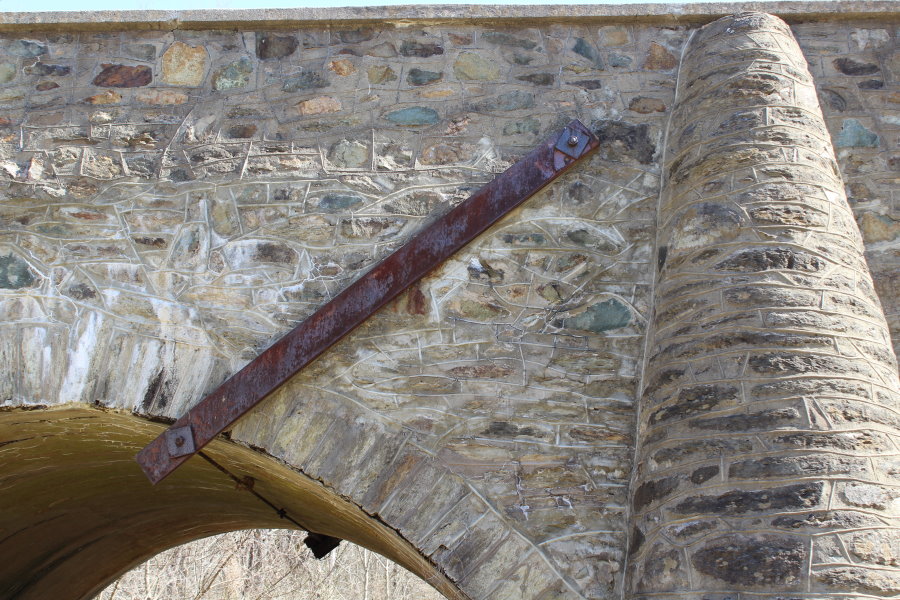
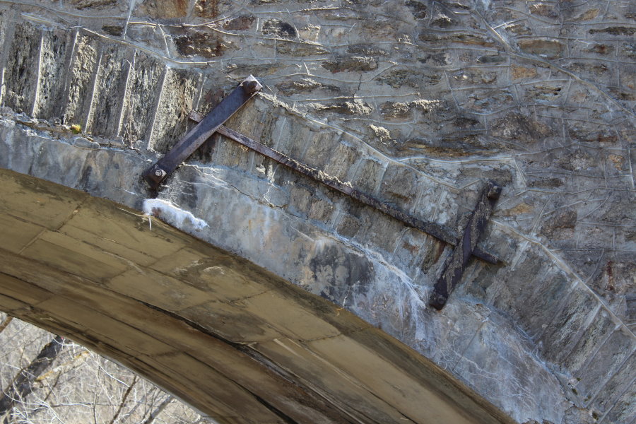
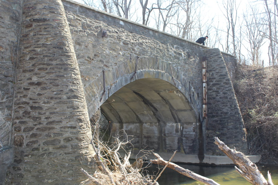
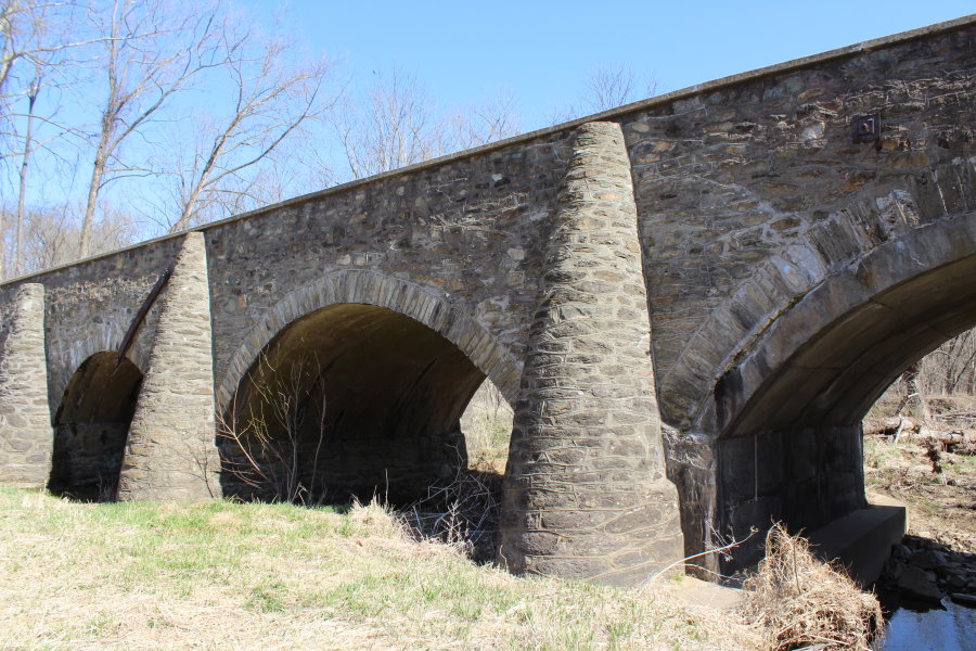
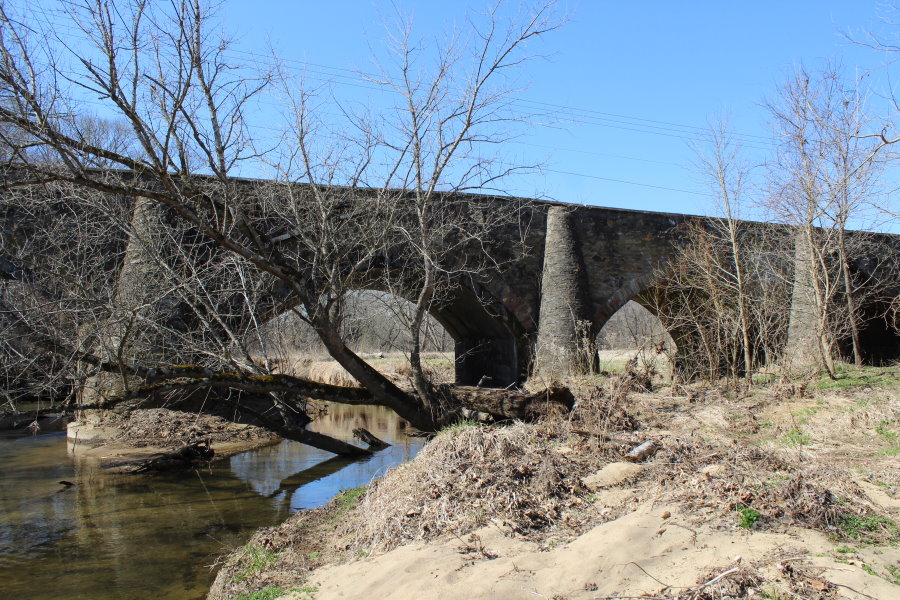
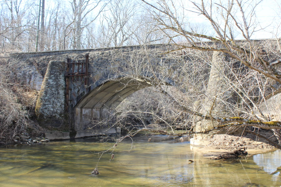
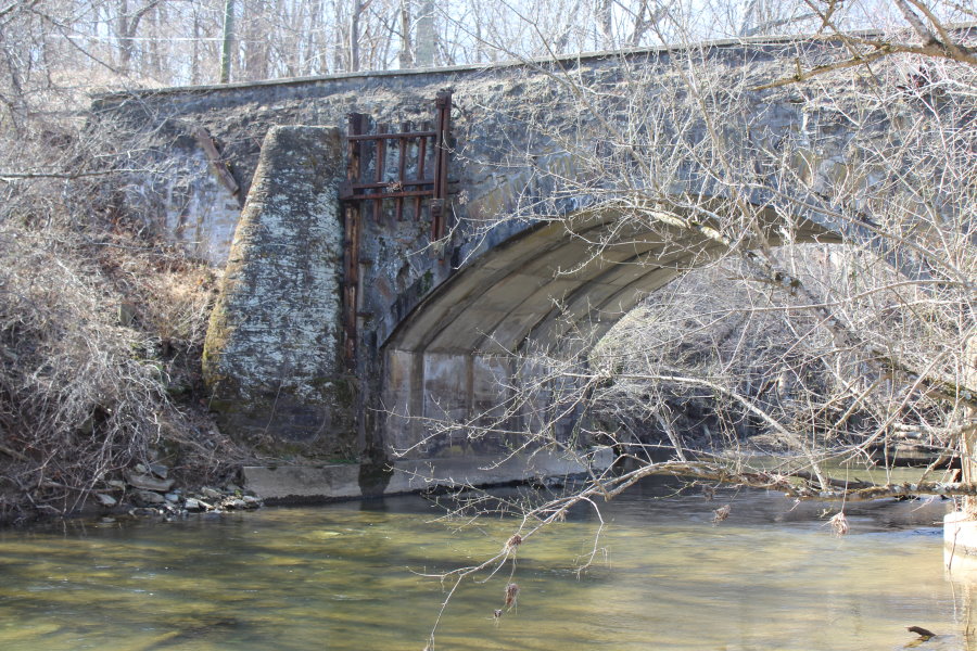
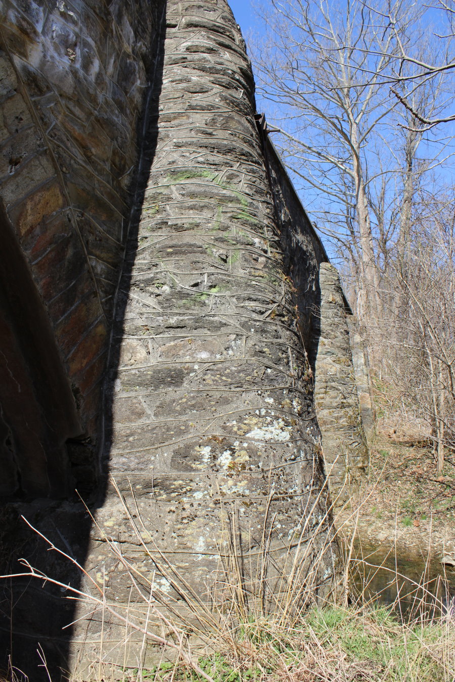
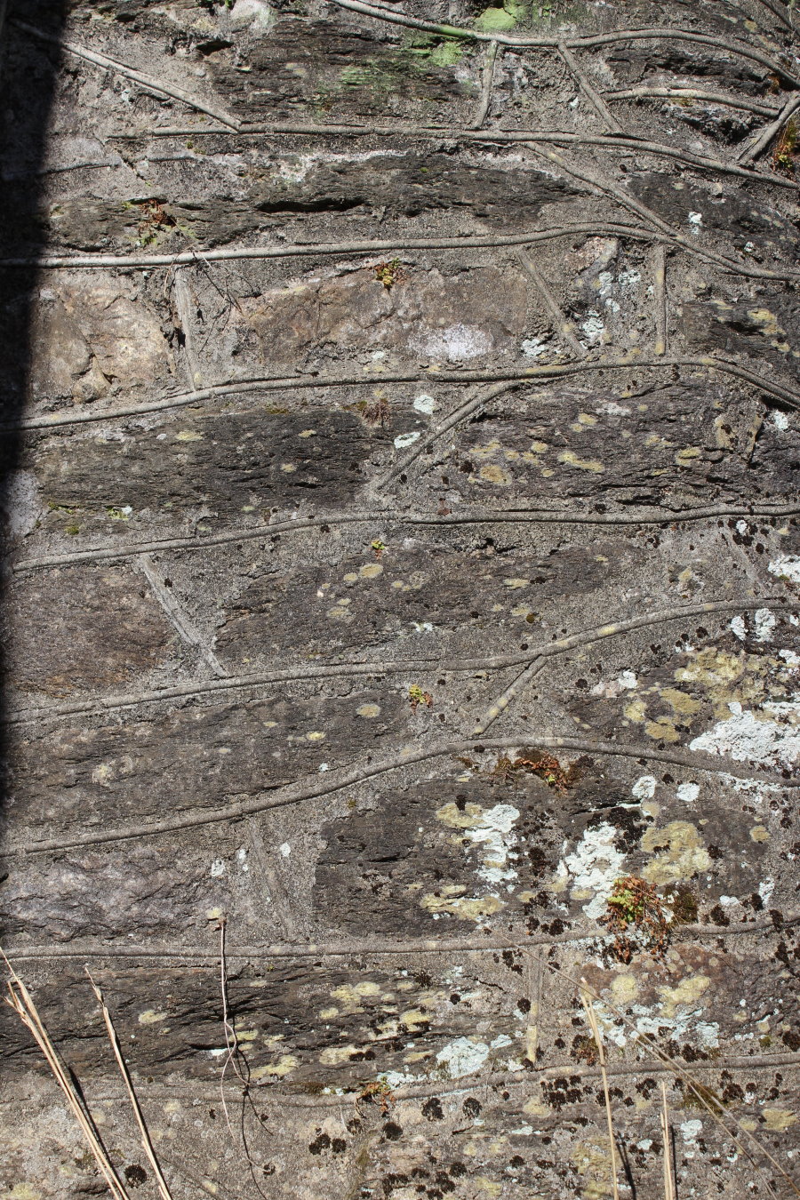
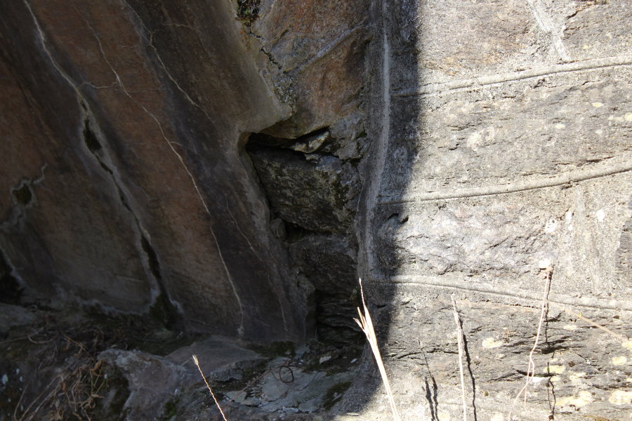
Built in 1810, the Goose Creek bridge carried Ashby's Gap Turnpike, since bypassed by nearby US50. The American Civil War's Battle of Upperville (June 21, 1863) occurred at this location.
Mail | Facebook | X (Twitter) | Bluesky